
Delivering successful client driven project services and solutions since 2006
Located in Woodcote, Oxfordshire, UK - Oxford Geospatial are a small team of surveyors, engineers and digital modellers working on industrial, commercial and residential projects throughout the UK.
We currently have direct clients ranging from the worlds largest telecommunications corporations, to individual UK homeowners, and within the construction industry, our services are engaged for a variety of businesses at all stages of the supply chain, from Tier 1 civil engineering contractors, to local builders.
Contact
➤ LOCATIOn
Unit 6, Wards Farm, Greenmore, Woodcote, Reading. RG8 0RB
☎ CONTACT
mail@oxfordgeospatial.com
01491 877871
From project feasibility study to facility end use, we endeavour to provide our clients with a comprehensive service for all their survey, measurement and digital modelling requirements
Pre Construction
Services-
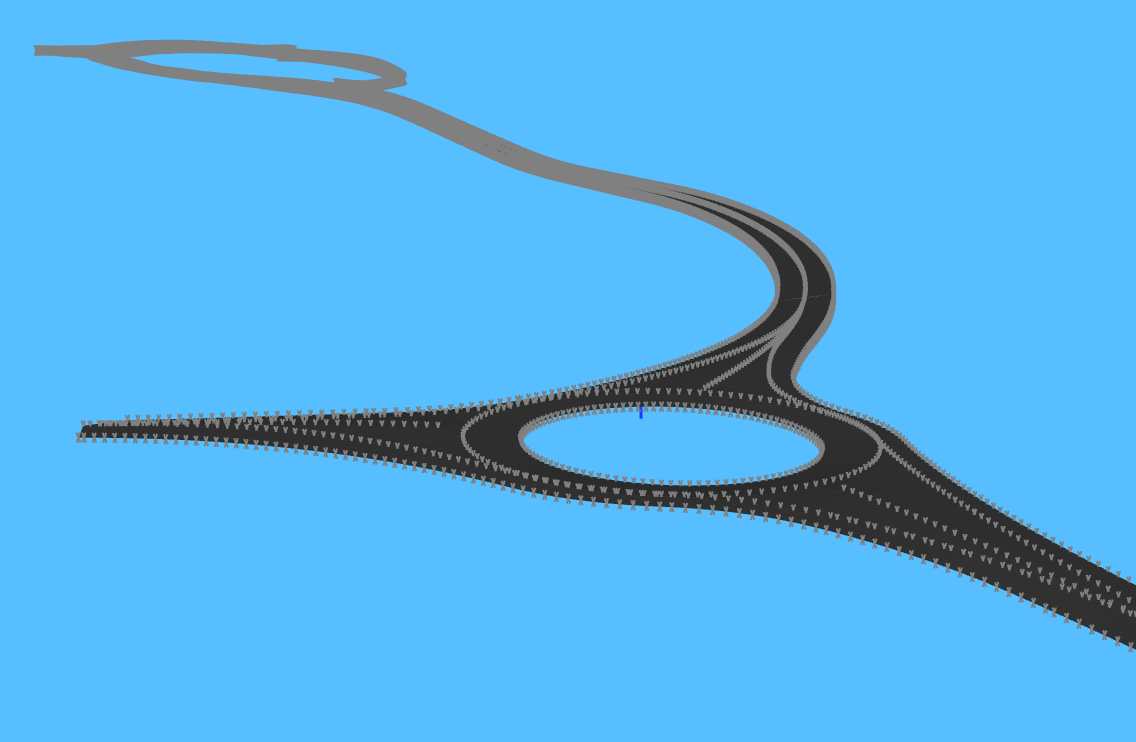
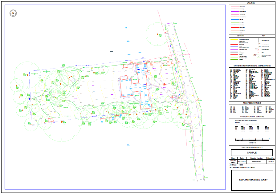
Topographical Surveying
Measured Building Surveying
GPS Control Network Installation
Land Registry Plans
Existing Building Information Modelling
CAD drafting
Drawing Presentation
3D Laser Scanning
During these design phases we typically provide the required geospatial and geographical information to allow the design team and end user clients to collaborate with relevant authorities and organisations to plan a successful project

Construction Period
services-
Setting Out
3D Movement Monitoring
Earthworks Design
Volume Calculation
Dimensional Control Network Installation
As-Built Surveys
Revit Modelling
3D Laser Scanning
Building Information Modelling
Within the construction phases of project we collaborate with the design team, contractors and clients to ensure correct information is available as required to all parties involved in the project, this may entail transferring dimensional information from digital models and drawings to the construction area on site, or providing design team up to date geospatial information back from works areas to drawings or digital models

1:50 Scale External Elevation Drawing
Post Construction
SERVICES-
Reality Capture
As Built Surveys
Land Registry Documents
3D Movement Monitoring
Lease plans
Net Internal Area Calculations
Gross Internal Area Calculations
Boundary Condition Surveys
Heritage Site Documentation
Woodland / Forestry Mapping
Post construction we will ensure design documents are stored and updated for our clients, drawings and models updated as required, property sale, lease and transfer documents are produced along with continued services and liason with the end users
“We must all obey the great law of change. It is the most powerful law of nature.”
Enquiries
Use the form below to contact us regarding your enquiry. Please be as detailed as possible. Please Include your industry along with any specific document requests to help us best service your enquiry. You may also email or call us to make an appointment.
For job opportunities, please email us your CV and a covering letter.

New Haw Viaduct Survey, M25 London